⌁
UAV LiDAR & Mapping
Aerial acquisition, point-cloud processing, terrain modelling, and high-resolution spatial products.
Turning complex terrain into clear, actionable geospatial insights.
Working across field surveying, UAV LiDAR, photogrammetry, data quality control, and project delivery — from planning to the final map.
 FIG. 01 / PERSONAL PROFILE
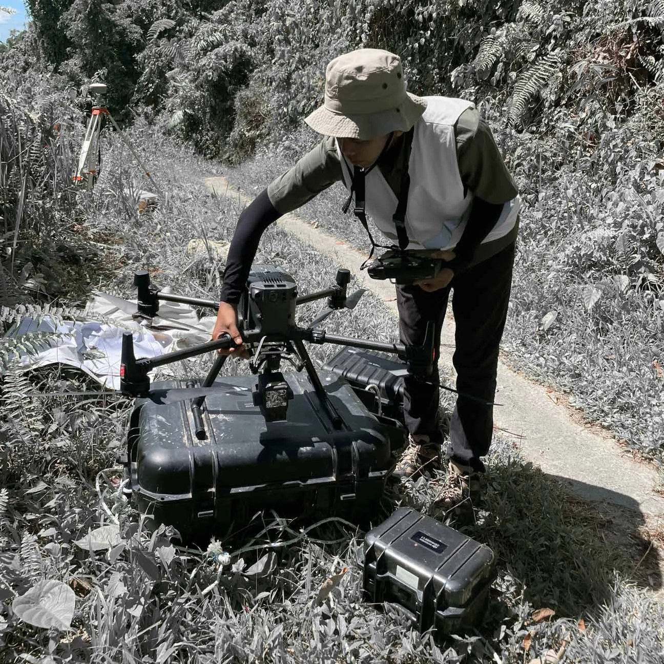 FIELD DOCUMENTATION / UAV OPERATIONS
My professional journey began with a bachelor's degree in Geomatics Engineering at Institut Teknologi Sumatera. Surveying, mapping, UAV technology, and GIS became the foundation for an end-to-end understanding of geospatial projects.
Working across diverse projects broadened my contribution from technical field execution to survey planning, team coordination, progress monitoring, quality control, and the delivery of reliable results.
Data before assumptions. Clarity in complexity. Quality and ownership at every stage of delivery.
Practical expertise across field acquisition, geospatial processing, data validation, and technical project coordination.
Aerial acquisition, point-cloud processing, terrain modelling, and high-resolution spatial products.
Control networks, RTK surveying, elevations, contours, profiles, and engineering maps.
Orthophotos, spatial data integration, mapping workflows, and GIS deliverables.
Hydrographic data acquisition, river profiles, channel mapping, and bathymetric surfaces.
Survey planning, field coordination, progress control, consistency checks, and final deliverable review.
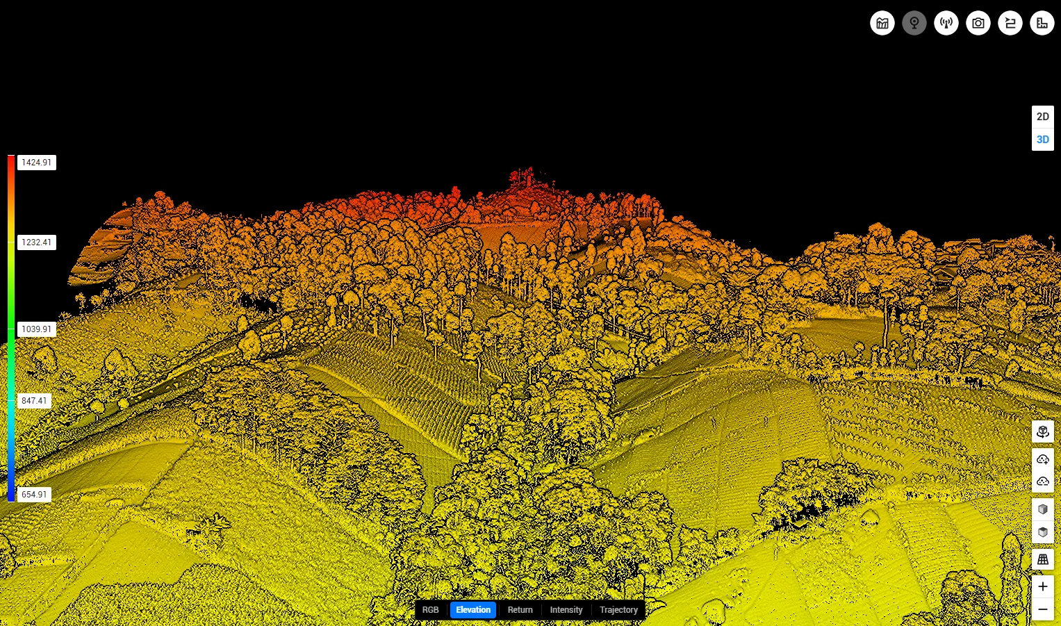
Selected assignments highlighting project challenges, my responsibilities, technical methods, and actual deliverables.
Select a project to explore the challenge, approach, deliverables, and field documentation.
An index of the projects listed in my original portfolio. Browse by year, discipline, or keyword.
Interested in geospatial engineering, mapping projects, or technical collaboration? Explore my work and get in touch through the professional channels below.
View complete portfolioProfessional contact links can be added in script.js before publishing.